STAY CONNECTED: Have the stories that matter most delivered every night to your email inbox. Subscribe to our daily local news wrap.
Rainfall warnings for much of Vancouver Island were issued Tuesday morning, in response to a large system moving through. (Dreamstime)
fall storm

Rainfall warning issued for Oceanside, DriveBC advises of possible Hwy. 4 issues

Oct 17, 2023 | 9:28 AM

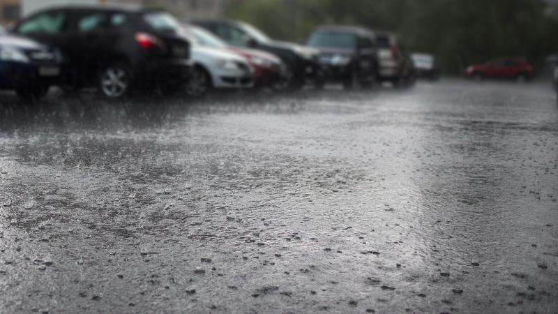
PARKSVILLE — A considerable amount of rain is forecast to hit the region beginning Tuesday.

Environment Canada issued a rainfall warning for eastern Vancouver Island from Campbell River to Fanny Bay, advising of high rainfall amounts totalling between 60 and 80 millimetres over the next 24 to 48 hours.

The advisory covers Parksville, Qualicum Beach, Nanoose Bay on central Vancouver Island, as well as Port Alberni, the north Island and Sunshine Coast. Areas north of Qualicum Beach are expected to see the worst of the storm.

“A Pacific weather system will move onshore [Tuesday] and stall over the region, bringing abundant moisture from the subtropics,” the warning read. “Rain will start [Tuesday] morning, and then become heavy [overnight] and continue through Wednesday.”

A similar warning was issued for western Vancouver Island, including Tofino and Ucluelet, with 180 to 200 millimetres expected.

Armel Castallan, meteorologist with Environment Canda, told NanaimoNewsNOW the system is categorized as an atmospheric river and will bring steady rainfall, upwards of 20 millimetres per hour at some points, over the next two days.

He added the system is being driven by a low pressure system in the Gulf of Alaska, and a high pressure system off the Californian coast.

“In between the two is where you squeeze, a flow comes down from the southwest and moving northeast from the tropics…bringing up a lot of that moisture and when it hits the coast it’s got mountains and terrain and that’s when it really condenses and dumps a lot of rain in short order.

He said it can be thought of as a “firehose” being pointed toward a specific location for an extended period of time.

However, unlike in 2021, there are many contributing factors which are poised to make this storm “more beneficial than harmful”, according to Castallan.

A drought-stricken region isn’t providing ideal conditions of excessive water to have nowhere to go.

“Sometimes we talk about parades of storms, really active weather for not just a few days but several months if not sometimes a few months like we saw in 2021, it really started up in earnest in mid-September, so by mid-November not only did we have a lot of saturation in the soil but we also had the snowfall, which is another element.”

The warning from the weather authority also triggered an incident advisory from DriveBC, warning of potential issues along Hwy. 4 at Cathedral Grove.

Enhanced monitoring for fallen rock debris will be in place along the nearly two-kilometre stretch which was at least partially shut down over the summer months following a June wildfire.

“Hwy 4 enhanced monitoring in progress due to risk of falling debris. No stopping. Drive with caution and be prepared for unplanned closures,” DriveBC’s advisory read.

The highway re-opened to two-wray traffic at the end of August.

Local news. Delivered. Free. Subscribe to our daily news wrap and get our top local stories delivered to your email inbox every evening

info@nanaimonewsnow.com

On Twitter: @NanaimonewsNOW