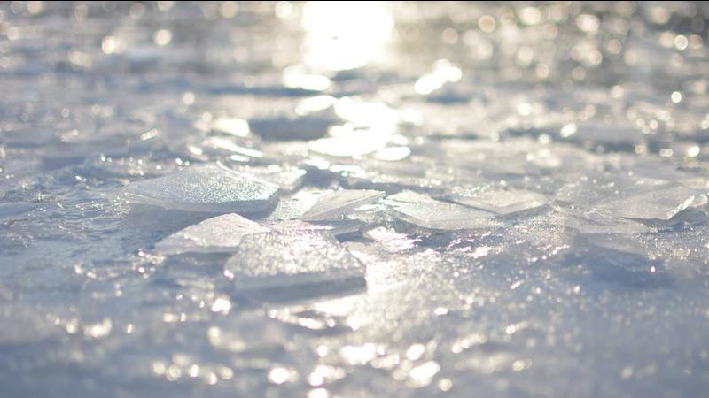
Cold, icy conditions will be prevalent in the Nanaimo region as the temperature drops this week. (Reuben Friesen)
snowfall

Frigid air & flurries due for Nanaimo, Oceanside regions

Feb 21, 2023 | 10:34 AM

NANAIMO — Mother Nature is reminding us, winter isn’t over just yet.

A ridge of high pressure from the Arctic is making its way through much of western Canada and is expected to impact areas of Vancouver Island by the evening of Tuesday, Feb. 21.

Bobby Sekhon, meteorologist with Environment Canada, told NanaimoNewsNOW the air mass is set to collide with Pacific moisture.

“As that moves down there’s also an unsettled pattern over the B.C. coast from a low extending from Washington state, so with that we have some unsettled conditions combining with cold air, that’s going to create a possibility of those flurries.”

Anywhere between four and eight centimetres of snow is expected on the mid-Island beginning Tuesday night and through much of Wednesday.

Accompanied by anticipated snow is colder conditions as an overnight low of minus one on Tuesday night is set to be the warmest night of the week.

Higher elevations can expect more snow, while parts of northern B.C. are bracing for anywhere between 25 and 30 centimetres.

School Districts in and around the Prince George area cancelled bus routes Tuesday morning with temperatures expected to be close to -40 come Tuesday night.

Nanaimo’s snowfall is forecast to be considerably less.

An initial precipitation punch from the storm is expected to be brief for the mid-Island, with cold and dry conditions carrying through much of the week.

“Come the weekend, that’s where we’re going to see a bit of a disruption where we’ll see temperatures rebound a little bit on Saturday and part of Sunday as well and with that we’ll see a system break through that Arctic ridge of high pressure and give some precipitation as well.”

The dueling systems could create some tricky travel conditions, according to Sekhon.

Snowfall in February isn’t out of the norm for the central Island.

Family Day long weekend in 2021 saw considerable snowfall, while the region sees an average of 11 centimetres of snow through the calendar month. Another six centimetres of now typically falls regionally in March.

While snowfall in the long term forecast is difficult to pinpoint, Sekhon said you may want to keep your winter jacket handy for a little while longer.

“It’s looking like a cooler trend all the way through the first several days of March. There will be some fluctuation over that two week period, but generally looking on the cooler side of the weather pattern.”

Nanaimo sees an average high temperature of between eight and nine degrees Celsius this time of year, with overnight lows just above freezing.

–with files from CKPG News

Local news. Delivered. Free. Subscribe to our daily news wrap and get our top local stories delivered to your email inbox every evening

info@nanaimonewsnow.com

On Twitter: @NanaimoNewsNOW