LOCAL NEWS, DELIVERED DAILY. Subscribe to our daily news wrap and get the top stories sent straight to your inbox every evening.
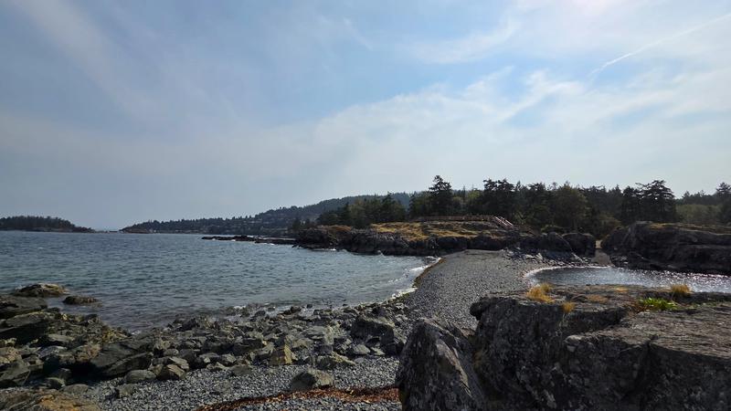
Some bonus summer came through September with average temperatures almost two degrees above normal for this time of year. (Alex Rawnsley/NanaimoNewsNOW)
0.1 degrees

Nanaimo narrowly misses 107 year old September temperature record

Oct 2, 2025 | 5:27 AM

NANAIMO — The Harbour City has just experienced the second warmest September on record, narrowly missing a record over 100 years old.

Data from Environment Canada shows monitoring stations in Nanaimo recorded an average temperature through the month of 16.8 degrees Celsius, narrowly missing a 1918 record of 16.9 degrees.

Meteorologist Ken Dosanjh told NanaimoNewsNOW a late August heatwave extended into September and made the first half of the month much, much warmer.

“Because of that, those temperatures that really elevated east Vancouver Island, as well as pretty much most of the interior parts of the province, where we saw definitely warmer than normal conditions. For Nanaimo, for example, they saw 1.8 degrees above normal.”

No data was available for Parksville or Qualicum, however Dosanjh noted the Comox Valley joined several other communities in setting a new record for warmest September ever.

The average temperature is calculated by averaging out a daily high and low temperature, then averaging again over the course of a month.

Dosanjh added a nearly two degree difference over normals is notable.

“Most of the rises occurred early September, where we saw no rainfall and temperatures were well above normal. When we see standard deviation temperatures above three degrees, that’s when we start to get to that extreme category. In our case, we saw temperature rise anomalies of 1.8 and 1.9 degrees for east Vancouver Island, so very notably warm.”

Precipitation, however, came in just above the normal for Nanaimo with 37.9 millimetres falling through the calendar month.

A majority of it came in a three day span mid-month.

Dosanjh said rainfall-wise, September can align more with a drier summer than a wetter fall.

“As we jump into October, we really see a jump up in average of precipitation, as we start to see more fall like systems slide south, along the north coast, down to the south coast. We have been feeling those effects currently, as we speak, we will see some drying periods move into the weekend.”

Looking ahead, it is the warmer-than-normal temperatures which could cause some concern in the region for the frequency and severity of fall storms.

Dosanjh said sea surface temperatures are really the “driving force” behind the intensity for most systems.

“We are seeing these above normal temperatures exist along the western Pacific, and what they do is they increase water vapor. Warmer oceans can evaporate more water, and because of that you do see increased amounts in the atmosphere, and that directly ties into these fall systems that we experience.”

Most forecasting models are calling for a much warmer and wetter fall than normal for eastern Vancouver Island.

Subscribe to our daily news wrap. Local news delivered to your email inbox every evening. Stay up to date on everything Nanaimo and Oceanside.

info@nanaimonewsnow.com

Follow us on: Twitter (X) | Bluesky | Facebook