LOCAL NEWS, DELIVERED DAILY. Subscribe to our daily news wrap and get the top stories sent straight to your inbox every evening.
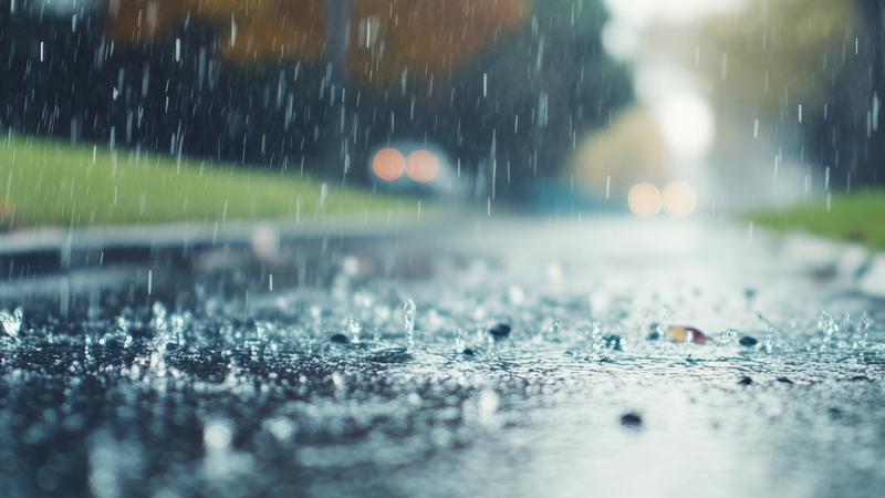
Upwards of 20 millimetres of rain is expected for the Nanaimo region over the next few days, but parts of the Lower Mainland can expect much more. (Dreamstime)
let it rain

‘Atypical’ August rainfall to help local air quality concerns

Aug 14, 2025 | 12:28 PM

NANAIMO — It won’t be much locally, but some brief summer rain is being welcomed with open arms.

A relatively strong Pacific frontal system is moving across the region beginning Thursday, Aug. 14 and continuing through Friday and parts of the weekend, bringing varying rainfall amounts to a wide portion of southern B.C.

Environment Canada meteorologist Brian Proctor told NanaimoNewsNOW the system is “fairly atypical for us in August”, which is historically the second driest month of the year.

“We’ll sort of maybe see five millimetres through the overnight [Thursday], and maybe sort of 10 to 20 [Friday]. So, let’s call it 15 to 20 millimetres across much of the area on the east side of the island, probably the higher amounts will be up and towards the Campbell River, Comox, Courtenay area.”

Both ‘rain’ and ‘showers’ are forecast for the Nanaimo and Oceanside regions over the coming days, indicating a first blast of more widespread precipitation, followed by more isolated pockets of shower activity.

Conditions are expected to ease on Saturday and into Sunday.

“[There is the] chance to be seeing a little bit of localized flooding, they may see a little bit of plugging on some of the road culverts and things of that nature, but in general terms, probably just a good news story and that we’re getting some rainfall.”

Significantly more rainfall is expected elsewhere, with Environment Canada issuing rainfall warnings for parts of Metro Vancouver, the lower Sunshine Coast and Howe Sound.

Upwards of 80 millimetres are expected at higher elevations.

With the change in sky conditions also comes a change in wind.

Smoke from nearby wildfires sent Nanaimo’s air quality index soaring Thursday morning, resulting in some of the country’s worst air quality being measured on Vancouver Island.

Proctor said conditions will be favourable to see much of the smoke clear, at least for now.

“We’re looking for some more southerly to southeasterly winds coming up the Strait and being a little bit stronger as this frontal system approaches. That’s probably going to improve the air quality in and around the Nanaimo area, parts of Parksville and Qualicum.”

He added the Courtenay-Comox area could see more smoky skies as a result of the shift in wind.

Temperatures are forecast in the short to medium term to stay around average for this time of year, in the low 20s.

Local news. Delivered. Free. Subscribe to our daily news wrap and get our top local stories delivered to your email inbox every evening.

info@nanaimonewsnow.com

Follow us on: Twitter (X) | Bluesky | Facebook