LOCAL NEWS, DELIVERED DAILY. Subscribe to our daily news wrap and get the top stories sent straight to your inbox every evening.
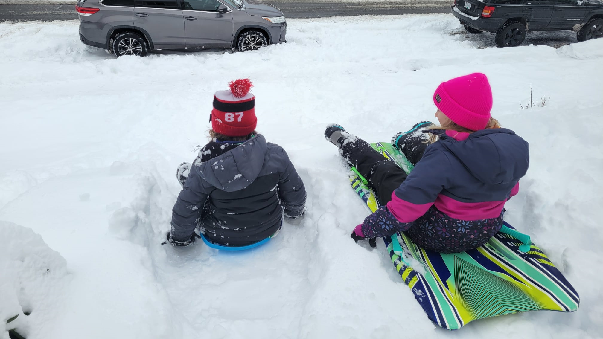
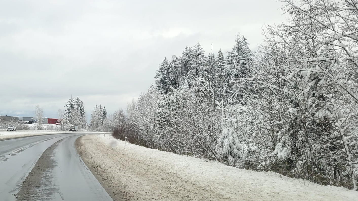
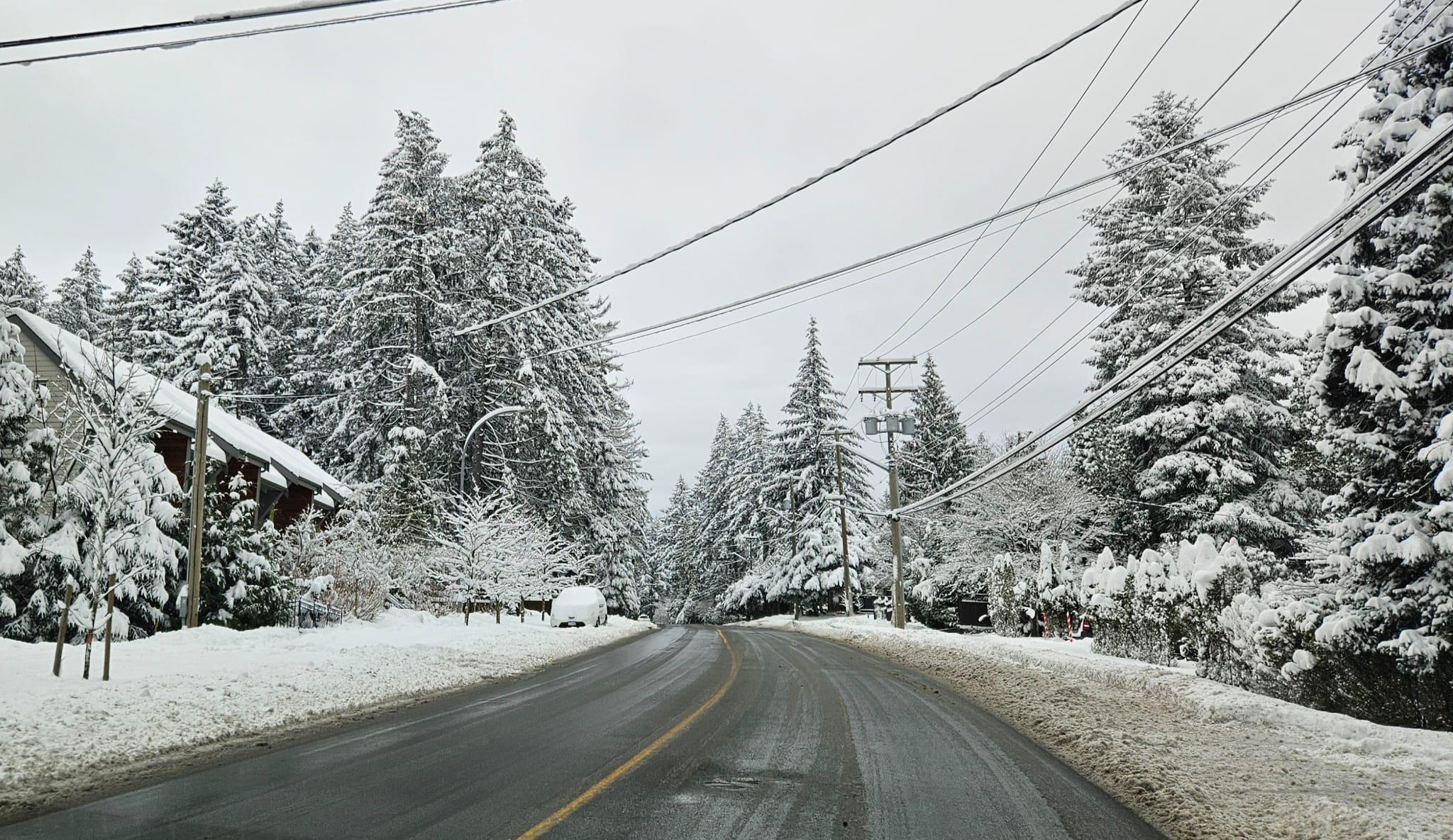
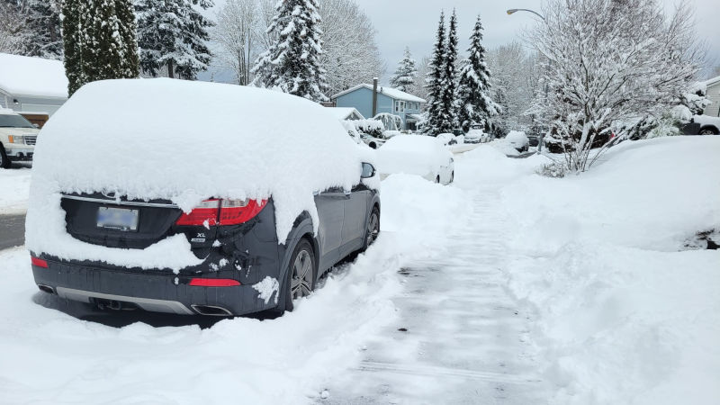
Up to 35 centimetres was recorded by Environment Canada for the Nanaimo region over recent days as the Harbour City received the full force from the year's first snow storm. (Jordan Davidson/NanaimoNewsNOW)
more snow

‘It parked close to Nanaimo:’ Harbour City bares brunt of winter wallop

Feb 4, 2025 | 4:13 PM

NANAIMO — The worst of the year’s first winter storm has come and gone, and it appears no one got it worse than the Harbour City.

Environment Canada accumulation totals estimate between 30 and 35 centimetres of snow fell in the greater Nanaimo area between Sunday, Feb. 1 and Tuesday, Feb. 4, with a little bit more still in the forecast.

Meteorologist Matt Loney said Nanaimo was far and away the snow accumulation leader.

“Shawnigan Lake come in at 29 centimetres then generally everywhere else on the east Island the bands seem to be more dispersed and we’ve got more of a 10 to 20 centimetre generalized accumulations.”

School-aged kids in Nanaimo took advantage of the snow day to go sledding wherever they found a hill. (Jordan Davidson/NanaimoNewsNOW)

Data from a 12-hour period between Monday, Feb. 3 at 4 p.m. and Tuesday, Feb. 4 at 4 a.m. showed the Nanaimo Airport recorded 23 centimetres of snow.

Over the same time, North Courtenay reported 13, Qualicum Beach Airport registered 10 centimetres, as did Victoria International Airport.

Areas of Metro Vancouver were between five and 10 centimetres.

Loney said Nanaimo was in the right place at the right time for peak snowfall.

“It was basically where the outflow winds which come from the land, the Arctic air seeping out of the inlets, particularly from Howe Sound, where that meets up with the northwesterly winds that are coming down the Strait of Georgia. There’s a convergence area there and it looks like it parked close to Nanaimo which caused the banding to be a little bit more concentrated.”

Nanaimo road crews had major roadways, like the Nanaimo Parkway, cleared by Tuesday morning. (NanaimoNewsNOW Photo)

Further snowfall is expected through Tuesday, Feb. 4 and into the overnight hours, although no significant accumulation is expected.

Loney said they’re looking ahead to some sunshine after one final bout of flurries Tuesday night.

“The satellite imagery is showing still bands of moisture coming up, there’s clouds up from the south, but the radar is showing another story, lots of dissipation of radar echos so we’re not seeing much precipitation out of these clouds.”

Long range forecasts call for sunny skies and cool temperatures, just either side of freezing, meaning the snow should stick around on the ground for several days.

Main area roads were largely clear on Tuesday, Feb. 4, thanks to a break in precipitation on Tuesday. (NanaimoNewsNOW Photo)

We’re on Bluesky! Stay up to date on news across central Vancouver Island through Bluesky, by following @NanaimoNewsNOW.bsky.social.

info@nanaimonewsnow.com

Follow us on: Twitter (X) | Bluesky | Facebook