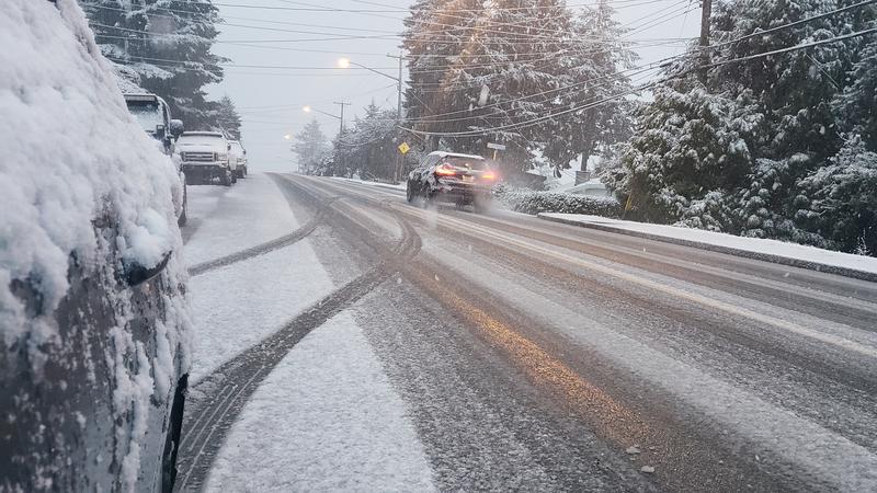
Expect some messy roads and wintery conditions beginning Sunday and continuing into Monday, as the first blast of snow for the season hits central Vancouver Island. (File photo/NanaimoNewsNOW)
OLD MAN WINTER ARRIVING
Pattern shift creating ‘potential for moderate to heavy localized snowfall’ in Nanaimo & Oceanside
Jan 31, 2025 | 4:17 PM
-
Share on Facebook
-
Share on Bluesky
-
Share on X
- Copy Link
NANAIMO — Early forecasts for a snowy weekend and start of next week appear to be holding true.
Rainfall which began on Thursday, Jan. 30 is forecast to turn into a more wintery mix of precipitation through Friday, before further developing into snowfall by the end of the weekend.
Environment Canada meteorologist Lisa Erven said “the right ingredients” are in place for snow all the way down to the coast starting with a brief burst Friday, Jan. 31.
“The cold front will move through, and our temperatures are going to drop pretty drastically in behind it down to zero or even a few degrees below. We could actually see even a quick burst of snow late this afternoon, into early evening.”


