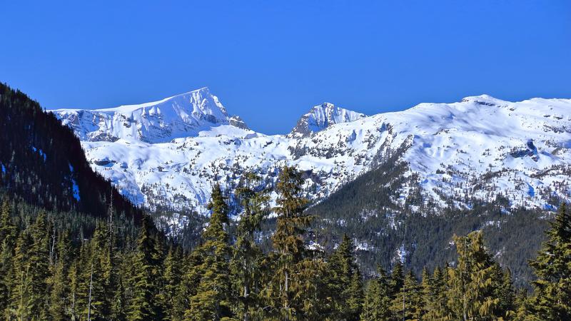
Snowpacks in the Island backcountry are healthier now than they've been in almost the last decade. (Dreamstime)
huge turnaround

‘A big difference:’ Island snowpack levels lead B.C. after recent drought-filled years

Jan 10, 2025 | 6:23 AM

NANAIMO — It’s amazing what a difference a year can make.

A considerable amount of rainfall in the last couple of months of 2024 across much of Vancouver Island not only boosted water reserves in populated areas but also helped boost the snowpack levels at elevation.

Jonathan Boyd from the B.C. River Forecast Centre said their Jan. 1 snowpack report, published Thursday, Jan. 9, showed an average across Vancouver Island of 117 per cent of normal.

“A big difference compared to last year where it was 39 per cent of normal, extremely low and really stayed low for throughout the entire season which led to some potential drought impacts throughout the Island.”

Vancouver Island was one of the lone bright spots province-wide, with the B.C. average at 87 per cent.

Areas around the Nechako River and B.C.’s central coast were between 54 and 62 per cent of normal, while the Skagit snow basin, which funnels through Manning Park, was at 18 per cent.

Boyd said it’s the highest Island snowpack for this time of year in the last seven or eight years.

“More snowpack for Vancouver Island is just a positive in terms of water availability through the spring, summer and into the fall. We have a tendency to bounce out of drought quicker and then pop back into drought pretty often in the summertime, it’s just the way Vancouver Island is.”

While the first week of the new year has been relatively dry, more precipitation will help bolster the snowpack ahead of summer.

Boyd said some automated stations have detected a small drop, and without a notable amount of snowfall in high elevations, it’s likely we’ll return to normal in February.

“January is the month where we do get predominately the greatest snowfall across the province and so far we haven’t really seen any real substantial accumulation anywhere. There’s potential for storms to roll through, but they’re still directed more for the central and north coast.”

A La Nina climate pattern has been established in the Pacific Ocean, which historically has meant cooler and wetter conditions for coastal B.C.

— with files from Jon de Roo, 97.3 The Eagle

Local news. Delivered. Free. Subscribe to our daily news wrap and get our top local stories delivered to your email inbox every evening.

info@nanaimonewsnow.com

Follow us on: Twitter (X) | Bluesky | Facebook