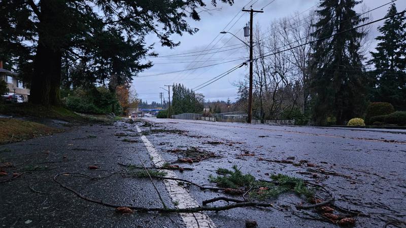
Despite a bomb cyclone storm which hit much of coastal B.C. mid-month, November saw an average amount of rain overall with daytime temperatures on par with normal for this time of year. (File Photo)
typical fall

November Nanaimo weather on par with average despite bomb cyclone

Dec 2, 2024 | 4:20 PM

NANAIMO — With the exception of a mid-month bomb cyclone storm which knocked out power to thousands across the province, November weather was fairly average in terms of temperature and rainfall.

That’s according to Environment Canada meteorologist Derek Lee, who said the average temperature for Nanaimo in November was 6.2 degrees (Celsius), less than a degree more than usual for the month, with 109 per cent of normal rainfall.

“Towards the end of this month, it got a little bit cooler in the nighttime, and then for precipitation, it really happened during the first two weeks of the month and then once we got into what we’re seeing now, we’ve kind of been in this dry trend for the last few weeks of November.”

Around 215 millimetres of rain fell on the Harbour City last month, a bit more than the 197.2 millimetres normally seen.

Looking at fall weather as a whole, the average day and nighttime temperatures for September, October, and November combined were 10.5 degrees, only 0.4 degrees higher than average on the mid-Island.

Precipitation-wise, 393 millimetres fell, around 115 per cent of the average amount of 241.8 millimetres typically seen in Nanaimo during the fall.

The weather was anything but normal when a bomb cyclone storm system hit coastal B.C. on Nov. 19, with high winds in excess of 100 kilometres per hour knocking out power to thousands of people, including in Nanaimo, Oceanside and Gabriola Island.

Lee said while that storm system brought plenty of precipitation, with the highest concentrations on western Vancouver Island, while the duration of the high winds is what separated it from typical West Coast fall storms.

“Usually when we do see a typical windstorm on Vancouver Island it’s just going to be a few hours of peak wind and then it subsides really quickly, but for this one it was a very long duration, starting in the Tuesday evening period of that week and ending really late Wednesday…a lot more impacts were felt because the consistent peak winds.”

Looking ahead to the final month of 2024, Lee said more rain is expected for the mid-Island starting Thursday, with 40 millimetres of precipitation possible by the time the system eases up on Saturday.

And while it’s still too early to say for sure, as of Dec. 1, the chances of a white Christmas aren’t great.

“I think for our latest white Christmas forecast, which is just to forecast whether we’ll see snow on Christmas Day, it looks like it’s only around a four to five per cent chance for now.”

Join the conversation. Submit your letter to NanaimoNewsNOW and be included on The Water Cooler, our letters to the editor feature.

jordan@nanaimonewsnow

On Twitter: @JordanDHeyNOW