STAY CONNECTED: Have the stories that matter most delivered every night to your email inbox. Subscribe to our daily local news wrap.
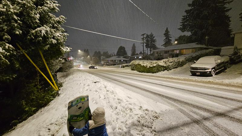
Nanaimo saw a few big dumps of snow in the middle of January, enough on the 18 for kids to go sledding. But warm temperatures a week later left no trace of the white stuff as the calendar turned to February. . (Alex Rawnsley/NanaimoNewsNOW)
record highs and lows

‘Snowpack was decimated:’ January weather records set for Nanaimo as lack of snow closes ski hills

Feb 1, 2024 | 4:55 PM

NANAIMO — The new year started on a wet note while temperatures went from one extreme to the other.

January 2024 is in the books as the 13th wettest in Nanaimo’s history, as the Harbour City saw 145 per cent of its average precipitation fall.

Meteorologist Armel Castellan said it was a wet month across much of Vancouver Island.

“We saw almost 273 millimetres, where the average is close to 188 millimetres when you take in the 30-year average. 145 per cent of normal is actually good for the 13th wettest January on record, dating back to 1892, both for temperature and for precipitation.”

On Jan. 8, 51.5 millimetres fell during the day, beating the old daily record of 47 millimetres from 1953.

Temperature-wise, the first month of the year was about typical for Nanaimo, with a mean temperature of 2.8 degrees and an average of around 3.5 degrees.

Castellan said despite the mean temperature being relatively normal, “the devil is in the details”, as Nanaimo saw multiple days of record-setting temperatures, both highs and lows.

“On Jan. 12, Nanaimo only reached up to -6.3, which is a record (low maximum) from 1950, where on that particular day only went up to -5.6. The low temperature that day, way down to -14.8, so eclipsed the -10.3 from 1998 by a big margin.”

The following day, Nanaimo set a record for the lowest minimum temperature at -15.8, the coldest day in a stretch of frigid weather, beating the old record of -13.9 from 1950.

A few days later, 17 full centimetres of snow fell at the Nanaimo airport on January 16, easily beating the old daily snow record of 10 centimetres from 2000.

Things began to heat from there, with a daily high-temperature record broken in Nanaimo on January 29, where it reached 16.5 degrees, beating the old record of 14.6 degrees from 1995.

Overnight, it only dropped to 9.4 degrees, comfortably beating the old record for overnight lows of 7.2 degrees from 1912.

While a pair of atmospheric river storms hit Coastal B.C. last week and dropped lots of rain across the drought-stricken province, Castellan said the high temperatures which came with it has “decimated” the mountain snowpack.

“We had a very low snowpack dating back to December, which was one of the warmest if not the warmest on record for many locations, including on the Island. So that snowpack was decimated. Now Mt. Washington is closed, we will see that same kind of story for the Northshore Mountains on the mainland side.”

A lack of snowpack could mean trouble come spring, as the gradual melt of the mountain snow helps maintain moisture levels as we head into the warmer months.

Castellan told NanaimoNewsNOW this could impact the levels of water in local bodies, not a good sign heading into the typically drier months.

“The broader kind of forest canopy will also start to dry and evapotranspiration much earlier than it typically would, and the probabilities of seeing above-seasonal temperature in February, March, and April remain actually quite high, particularly for the coast of B.C.”

Castellan said according to their forecasts, things will get a little chillier in Nanaimo to start next week, before returning to seasonal conditions by Valentine’s Day.

Local news. Delivered. Free. Subscribe to our daily news wrap and get our top local stories delivered to your email inbox every evening

jordan@nanaimonewsnow.com

On Twitter: @JordanDHeyNOW