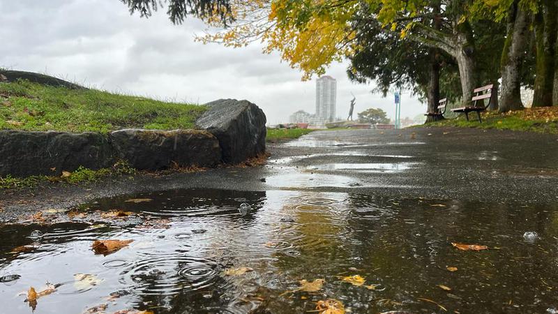
A few storm systems hit the mid-Island in Oct. and helped dampen the drought conditions, but experts say much more is needed before drought is no longer a concern. (File Photo/NanaimoNewsNOW)
much needed rain

Warm, cold, and wet: October serves up mixed weather systems on mid-Island

Nov 1, 2023 | 1:59 PM

NANAIMO — Above-seasonal temperatures at the beginning of October, capped by cooler conditions leading into Halloween, while a mix of dry and wet conditions persisted in between.

Environment Canada meteorologist Armel Castellan said the average monthly temperature was 10.0 degrees [Celsius] for Nanaimo, only point one degree higher than average.

But it was the amount of rain falling on the mid-Island last month that jumped out to forecasters, with 182 per cent of normal precipitation recorded at Nanaimo Airport.

Castellan noted nearly 186 millimetres of rainfall in October, well beyond the seasonal average of 102 millimetres.

“So that’s actually the twelfth wettest October on record, and those records go way back to 1892 for both temperature and precipitation,” Castellan told NanaimoNewsNOW.

In comparison, Victoria saw 122 per cent of their normal precipitation for the month, while Comox was at 116 per cent.

Castellan said the wettest days came mid-month when an atmospheric river system swept across Vancouver Island.

A flood watch was put in place for the Englishman River on Oct. 18.

“Nanaimo really saw the brunt of the system that kind of enveloped the South Coast essentially twice. There was the 16/17 atmospheric river event, and then a little bit later on the 24th when that system kind of came through a little bit shorter in duration, but a lot of precipitation, upwards of close to 60 millimetres I believe in less than 24 hours.”

Nanaimo did set a daily precipitation record when 60.1 millimetres of rain fell on Oct. 24, easily beating the previous record of 42.4 millimetres established in 1955.

Temperature-wise, it wasn’t warm enough to break any records, but a few days fell into the top five for warmest days for the month on record.

Maximum temperatures on Oct. 6 and 7 hit 23.5 degrees and 23.8 degrees respectively, a few degrees shy of all-time daily highs.

As for chilly days last month, record-breaking daily low records were at risk of being replaced on Oct. 26 and 28 when temperatures dropped to around the minus 3-degree mark.

While recent rain helped pull Vancouver Island out of immediate drought danger, Castellan cautions a longstanding precipitation deficit is concerning.

“Seeing close to 200 per cent of normal (precipitation) in a single month is giving temporary relief, but if, for instance, if we were to stay near normal for the next four, five, or six months of wet fall, winter and early spring, and we emerged from that, we would still be at a huge deficit for many locations, including Nanaimo,” Castellan said.

Vancouver Island is currently sitting at drought level zero, after being at the highest level of five for much of the year.

While the current weather forecast for this week calls for rain to start on Wednesday and continue well into next week for the Nanaimo and Oceanside areas, Castellan said above-seasonal temperatures with no major storms in the immediate forecast are expected.

Join the conversation. Submit your letter to NanaimoNewsNOW and be included on The Water Cooler, our letters to the editor feature.

jordan@nanaimonewsnow.com

On Twitter: @JordanDHeyNow