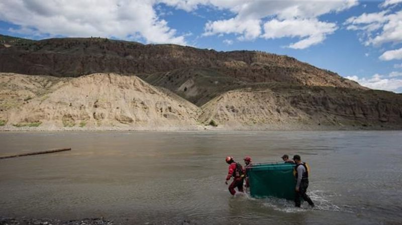
Researchers in B.C. to map landslides in Fraser River, help protect salmon
VANCOUVER — British Columbia geoscientists are returning to the scene of a massive landslide on the Fraser River to map its effects and assess the risk of future slides on salmon.
The landslide in November 2018 created a five-metre waterfall on the river north of Lillooet, and made it nearly impossible for migrating salmon to reach their spawning grounds.
Jeremy Venditti, principal investigator on the project, says his team of scientists will map the topography in the area using a laser to identify between 20 and 100 possible slide sites along the river.
He says his team set up a field site on the same location of the 2018 slide almost a decade before that, so they’ll be able to compare their findings with the 2009 data to see how the slide changed the river and how to better predict these events.


