LOCAL NEWS, DELIVERED DAILY. Subscribe to our daily news wrap and get the top stories sent straight to your inbox every evening.
Area beaches will be popular on the final days of an extended summer break, with temperatures expected to challenge or eclipse records on eastern Vancouver Island. (Alex Rawnsley/NanaimoNewsNOW)
FEELIN' HOT HOT HOT

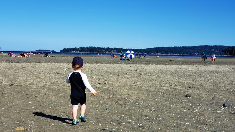
Last gasp of summer: Nanaimo, Parksville brace for September heat wave

Sep 9, 2020 | 5:26 AM

NANAIMO — The mercury in local thermometers is predicted to soar well past 30 degrees Wednesday, a potential record setting mark for early September.

Environment Canada issued a special weather statement over the long weekend, warning of temperatures five to 10 degrees above normal for this time of year.

“When we normally see temperatures that are highs of 20, 21 degrees on the Island…we could anticipate seeing temperatures reaching mid to high 20’s over the next few days, if not even cresting over 30 degrees for places like Nanaimo,” Armel Castellan, Environment Canada meteorologist told NanaimoNewsNOW.

Nanaimo is forecast to reach 31 degrees on Wednesday which would surpass the record for Sept. 9 of 29.6 degrees set in 2011. A potential record setting day is forecast for Oceanside, albeit a few degrees cooler than Nanaimo.

The heat wave is expected only to last two or three days before returning to more typical temperatures, however the sunshine will remain for the forseeable future.

Castellan said a high pressure system over the Okanagan is pushing interior-like weather to the eastern side of Vancouver Island.

“Much like in December, January where we can have a similar setup, we will get outflow winds coming down from the Fraser Valley, Howe Sound and really impacting the east side of Vancouver Island, those are very cold, dense winds.”

Long range forecasts released at the start of summer projected a warmer than normal stretch in August, September with forecasters now thinking October could also be above average.

Smoke from forest fires burning in Washington state blanketed southern Vancouver Island on Tuesday, sparking air quality warnings in the Victoria area and special statements elsewhere on Vancouver Island.

Conditions are expected to improve over the coming days.

“We’re expecting northerly flow to materialize over the Salish Sea and that will bring most of the smoke further south to where it came from in Washington State and keep it off shore in Pacific waters,” Castellan said. “That said, these fires are burning very hot and there’s been a lot of fire growth in the last 24 to 48 hours.”

alex.rawnsley@jpbg.ca

On Twitter: @alexrawnsley