STAY CONNECTED: Have the stories that matter most delivered every night to your email inbox. Subscribe to our daily local news wrap.
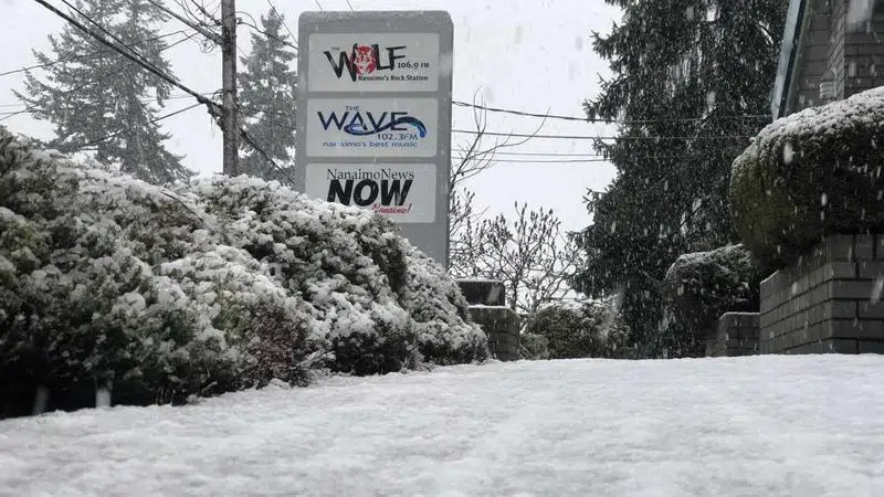
Environment Canada anticipates temperatures will regularly sit below the freezing mark for the next several days, beginning the evening of Sunday, Jan 12. (Ian Holmes/NanaimoNewsNOW)
brrrr

‘It will be a big change:’ forecaster warns to brace for a blast of cold weather

Jan 12, 2020 | 1:41 PM

NANAIMO — A relatively tame winter is taking a frigid turn with drastically colder than normal temperatures gripping the mid island region.

Environment Canada Meteorologist Bobby Sekhon said a substantial dose of arctic air will likely result in a string of chilly conditions beginning the evening of Sunday, Jan 12.

Sekhon said overnight temperatures will dip well below zero degrees.

“To give you an idea the average overnight low temperature for Nanaimo this time of year is zero,” Sekhon said. “We’re looking at temperatures easily five to 10 degrees below normal.”

Sekhon said while there doesn’t appear to be much snow at the lower elevations in the forecast, local roads and highways will likely be slick with ice and frost.

Sekhon said the cold weather could have some staying power.

“We see the cold air continuing for most of the week and possibly into the third week of January…Be prepared to have this cold air around for a little while.”

Environment Canada predicts Monday, Jan 13 will feel more like about minus 10 degrees due to the wind chill.

The cold weather immediately follows a weekend of heavy winds on the mid island, which caused a long list of ferry cancellations and power outages.

Nearly 9,000 people in the Nanaimo region were without power as of Sunday night, according to BC Hydro.

Outages were reported all over Nanaimo, with many traffic lights out of commission.

Several of the outages were due to downed power lines.

ian@nanaimonewsnow.com

On Twitter: @reporterholmes