LOCAL NEWS, DELIVERED DAILY. Subscribe to our daily news wrap and get the top stories sent straight to your inbox every evening.
Some of the first alerts under Environment Canada's new system warned of snow squalls in southern Ontario on Friday, Nov. 28. (Environment Canada)
red alert

Refined weather alert system focused on storm impacts

Nov 28, 2025 | 12:32 PM

NANAIMO — A new weather alert system rolled out earlier this week by Environment and Climate Change Canada is poised to provide more information at a glance on coming storms.

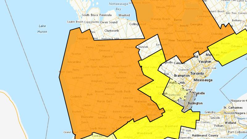
The federal government department has moved away from threshold-based watches and warnings and into a tiered system involving yellow, orange and red alerts matching the potential impact of active weather.

Environment Canada weather preparedness meteorologist Jessie Wagar said the new system focuses on the risk associated with any particular system.

“This is a big change from our previous system where…we would forecast what the weather would be and then issue a warning on on that. Now, we are taking into account the risk level that includes an assessment of the potential impact of a weather event, and it also includes the confidence of our meteorologist in the forecast.”

Previously, criteria for issuing a rainfall warning was for an expected 50 millimetres of rain to fall inside a 24 hour period.

Under the new guidelines, Environment Canada may issue graded alerts for less rainfall, if it’s poised to have a greater impact due to where or when it falls.

“As we either start to expect that the impact will be more significant, more widespread, more major, or could last a number of days, we could start to escalate that into the orange category and then if we’re up into the red level, those alerts are rare and impacts have the potential to be really extensive, really widespread with a prolonged recovery time.”

The atmospheric river event in 2021, which caused substantial flooding through areas of Nanaimo and opened up a sinkhole along Hwy. 19 in Lantzville, would be an example of a red alert under Environment Canada’s new system.

Wagar said the storm was the very definition of a “significant, widespread” event.

“Extensive impacts were felt right across southern parts of the province, that would be considered a red alert. It’s pretty rare, we see atmospheric rivers pretty often through B.C. but it’s that impact level that will adjust the level of the alert.”

Weather watches remain, and will be tiered as well.

They are typically issued a few days in advance of an active weather pattern, where specifics of a storm are still to be determined.

Wagar said the new system is designed to provide “really high glance value” for people skimming over the forecast, providing a clear, intuitive understanding of what is to come.

More details on the alert levels are available on the Environment Canada website.

— with files from Jon de Roo, 97.3 FM The Eagle

Subscribe to our daily news wrap. Local news delivered to your email inbox every evening. Stay up to date on everything Nanaimo and Oceanside.

info@nanaimonewsnow.com

Follow us on: Twitter (X) | Bluesky | Facebook