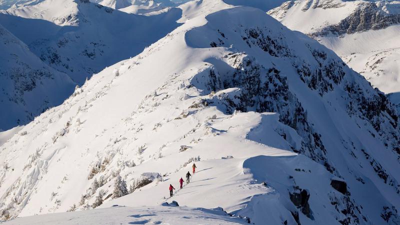
Backcountry skiers make their way along a mountain ridge near McGillivray Pass Lodge located in the southern Chilcotin Mountains of British Columbia, Tuesday, Jan. 10, 2012. The flood and avalanche risks remain elevated throughout British Columbia's South Coast, where a series of atmospheric rivers continues to bring heavy rains along with unseasonably warm temperatures to the region. THE CANADIAN PRESS/Jonathan Hayward
record breaker

Ongoing storm system bringing record high January temperatures

Jan 30, 2024 | 12:14 PM

Unseasonable warmth brought by an atmospheric river has shattered records — some almost a century old — at more than 30 B.C. locations, with the mercury passing 18 C in the Lower Mainland.

Environment Canada says the daily high temperature at Vancouver’s airport hit 14.3 C on Monday, breaking the previous record of 13.3 C set in 1940.

Records were also broken at multiple weather stations in Greater Victoria, where temperatures reached 15.3 C, surpassing a 1931 mark by two degrees.

The mercury hit a national high of 18.2 C in Abbotsford and 17.3 C in West Vancouver, both about three degrees beyond previous daily records.

No records were set, according to Environment Canada, for the Nanaimo or Oceanside regions.

Meanwhile, flood and avalanche risks remain elevated throughout B.C.’s South Coast, where Avalanche Canada says heavy rains have weakened the snowpack.

B.C.’s River Forecast Centre has expanded a flood warning to include the Lillooet River, saying flows at a gauge near Pemberton, B.C., were at levels seen once in five to 10 years.

A flood warning remains in effect for the Squamish River, where an updated bulletin says flows had exceeded once-in-five-year levels at a gauge near Brackendale, north of the Squamish town centre.

The warning also covers tributaries, including the Cheakamus River, which the bulletin says was “expected to exceed bank-full flow.”

Lower-level flood watches are in effect across the rest of the province’s South Coast, spanning all of Vancouver Island, the Sunshine Coast, the North Shore mountains and parts of the Fraser Valley, including the Sumas River.

The forecast centre says a series of “potent” storms had delivered between 80 and 300 millimetres of rain throughout the region since Friday, with the next round expected to start Tuesday night and stretch into Wednesday.

The risk of flooding is expected to persist into Thursday as the final atmospheric river brings further rain and snowmelt, it says.

The latest Avalanche Canada forecast shows the danger rating remains “high” throughout the south Chilcotin and Pacific mountain ranges, including alpine areas around Squamish, Whistler, Pemberton and Garibaldi Provincial Park.

The avalanche risk is also ranked as high in northwestern B.C., including mountains surrounding the communities of Prince Rupert, Terrace and Kitimat.

A bulletin from the forecaster said heavy rains have saturated and weakened the upper snowpack, and conditions in the alpine weren’t expected to improve Tuesday.

This report by The Canadian Press was first published Jan. 30, 2024.