STAY CONNECTED: Have the stories that matter most delivered every night to your email inbox. Subscribe to our daily local news wrap.
A flood watch is in place from the B.C. River Forecast Centre, advising of high stream flows on area river networks as a result of this parade of storms. (File Photo/NanaimoNewsNOW)
parade of storms

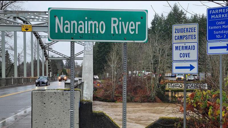
‘It’s a difficult weather pattern:’ flooding & travel issues possible during parade of storms through Nanaimo

Jan 26, 2024 | 5:30 AM

NANAIMO — A parade of wet and potentially windy winter storms have Vancouver Island in their crosshairs.

Environment Canada is calling for a series of low-pressure systems to descend across Vancouver Island beginning Friday, Jan. 26 and continue into the middle of next week.

Not only will the storms bring considerable rainfall, meteorologist Lisa Erven told NanaimoNewsNOW the warmer temperatures will have a domino effects across the region.

“With some of those storms, we could see some very high precipitation rates. During periods of active weather like this, especially when the rainfall is accompanied by things like high freezing levels and warm temperatures at valley bottom, we could also see extra runoff.”

Higher freezing levels means more mountain snow will melt as a result of both rainfall and temperatures.

The situation is expected to swell area river systems with the B.C. River Forecast Centre issuing a flood watch for eastern Vancouver Island on Thursday, Jan. 25.

There’s also an elevated risk of water pooling on roadways, debris flows from rivers and other issues.

Erven said it’s a less than ideal situation for a region which relies on a strong winter snowpack to provide favourable conditions in the warmer, drier months.

“It’s a difficult weather pattern given that we’ve had drier than normal conditions and lower than normal snowpack throughout the winter so far, a warm storm like this to come in is definitely a challenging forecast.”

In addition to the rain and warmer temperatures, strong winds are forecast to start sometime Saturday, Jan. 27 with a peak Sunday night into Monday morning.

Erven said there’s still some differences in the forecasting models to nail down exact peak wind speeds, or precise locations.

“It really depends on the exact track of these low-pressure systems as they come into the coast. If they wobble a little further north or south, it could cause a change in the actual wind values for parts of Vancouver Island.”

Travelers are advised to check local road and highway conditions if heading out during the stormy conditions, by visiting the DriveBC website.

BC Ferries passengers should also check their website for any sailing interruptions as a result.

Rainy conditions are forecast on the mid-Island until at least the middle of next week.

Join the conversation. Submit your letter to NanaimoNewsNOW and be included on The Water Cooler, our letters to the editor feature.

info@nanaimonewsnow.com

On Twitter: @NanaimoNewsNOW