Rain swells north, central B.C. rivers but southeast levels to fall as heat arrives
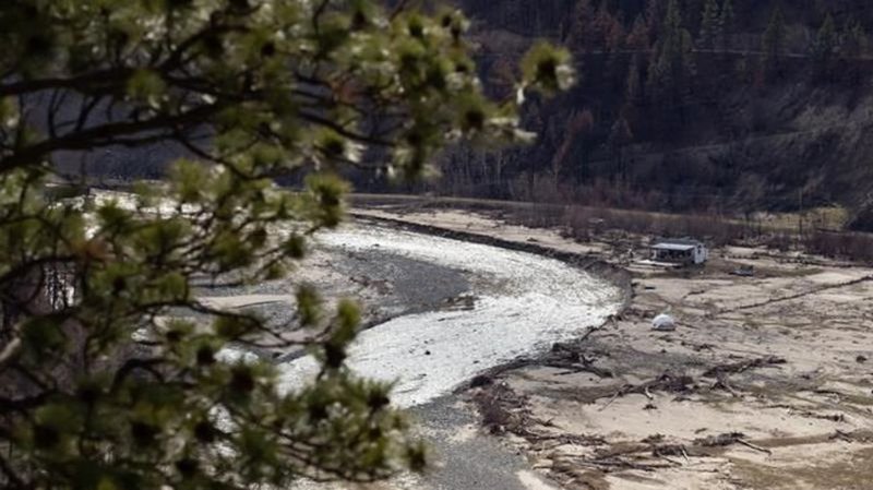
VANCOUVER — The River Forecast Centre says rising levels of some waterways in southeastern British Columbia could ease as runoff from heavy rain decreases, but downpours continue to swell rivers in north and central parts of the province.
The centre issued a flood watch late Wednesday for the Illecillewaet River and its tributaries around Revelstoke as up to 40 millimetres of rain drenched the region.
Downpours also prompted flood warnings for the Blue and Quesnel river systems east of Williams Lake and a high streamflow advisory is now in place for the Upper Fraser River and its tributaries from Prince George to Valemount.
Flood warnings, watches or high streamflow advisories cover the eastern half of B.C., from the Yukon boundary to the United States border, as well as the Fraser River from Quesnel to the ocean.


