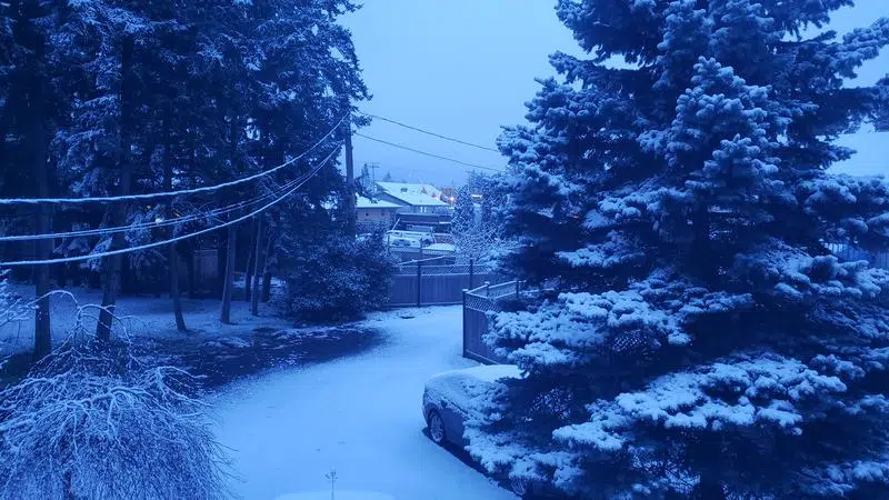
After record rainfall through January, Nanaimo saw another blanket of snow hit the region on Tuesday. (Alex Rawnsley/NanaimoNewsNOW)
HERE WE GO AGAIN
Brief wintery burst hits Nanaimo, Vancouver Island
Feb 3, 2020 | 11:45 PM
-
Share on Facebook
-
Share on Bluesky
-
Share on X
- Copy Link
NANAIMO — Two days removed from Van Isle Violet predicting a long winter on Sunday’s Groundhog Day, Mother Nature has obliged.
Environment Canada upgraded their initial special weather statement to a snowfall warning Tuesday morning, forecasting five to 20 centimetres of snow to fall in Nanaimo and eastern Vancouver Island as a front from the Pacific meets with cooler air.
Meteorologist Armel Castellan told NanaimoNewsNOW the snowfall may cause some travel headaches in the morning hours.
“It’s going to be very dependant on the terrain,” Castellan said. “Lowest elevations in Nanaimo may just see a rain snow mix the entire way with the exception of an intense burst of snow will drop that freezing level temporarily.”


