LOCAL NEWS, DELIVERED DAILY. Subscribe to our daily news wrap and get the top stories sent straight to your inbox every evening.
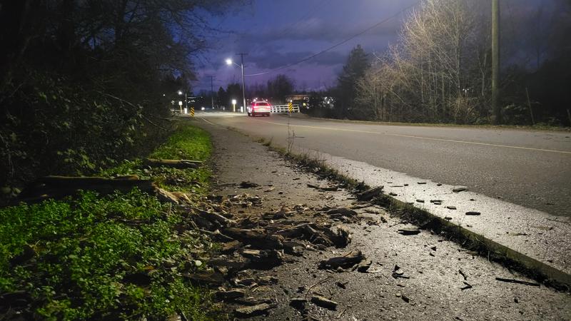
December 2025 turned out to be one of the warmest in Nanaimo's history, with a few minor wind and rain storms highlighting the month weather-wise.  (Jordan Davidson/NanaimoNewsNOW)
Green Christmas

Year ends with one of the warmest Decembers on record in Nanaimo

Jan 5, 2026 | 12:16 PM

NANAIMO — With only a few traces of snow spotted falling on Vancouver Island, last month will go down as one of the warmest on record in the Harbour City.

With a mean temperature of 5.2 degrees (Celsius), December 2025 was just over two degrees warmer than usual, good enough to make it the fifth warmest December in Nanaimo’s history, with records dating back to 1892.

Meteorologist with Environment and Climate Change Canada Bobby Sekhon said the Nanaimo area was spared from snowfall last month, save for the higher elevations.

“In terms of precipitation, pretty close to normal. Got about 166 millimetres compared to the normal of 184 millimetres, so just a little below the average but still within normal means.”

Nanaimo also set at least one daily high temperature record, when it got up to 16.5 degrees on Dec. 15, beating the old record of 13.9 degrees from 1956.

The warm weather was followed by strong winds along the Strait of Georgia on Dec. 18, forcing the cancellation of several BC Ferries sailings.

Sekhon said while the weather pattern for the rest of the month is a bit uncertain, they expect cooler and drier conditions for the first part of 2026.

“For the second week of January, we are seeing a cooler and drier signal for southern B.C., but then as we get to the last two weeks of January, it can be pretty close to normal, maybe slightly wetter than normal. It’s really hard to say with the models right now.”

While there’s currently no snow in the forecast for the area, snowpack levels in B.C.’s mountains are well above their average levels right now, except for Vancouver Island.

According to the provincial bi-weekly snow conditions commentary, as of Friday, Jan. 2, Vancouver Island currently has the lowest average levels of mountain snowpack at only 70 per cent.

The average across all automated snow weather stations province-wide is 130 per cent of the period-of-record median, up from 114 per cent on Dec. 15.

The province says current snowpack values are substantially higher than last year, with approximately 45 per cent of seasonal snowpack typically accumulated by Jan 1.

“Even though we haven’t had snow, maybe having a bit of a break from the weather currently, that it’s still winter,” said Sekhon. “We still need to be prepared, especially travelling down the Malahat or anything like that, things can change quickly, so keep your emergency kits handy in your car and in your home, and hopefully we’ll stay safe this winter.”

Local news. Delivered. Free. Subscribe to our daily news wrap and get our top local stories delivered to your email inbox every evening.

info@nanaimonewsnow.com

Follow us on: Twitter (X) | Bluesky | Facebook