LOCAL NEWS, DELIVERED DAILY. Subscribe to our daily news wrap and get the top stories sent straight to your inbox every evening.
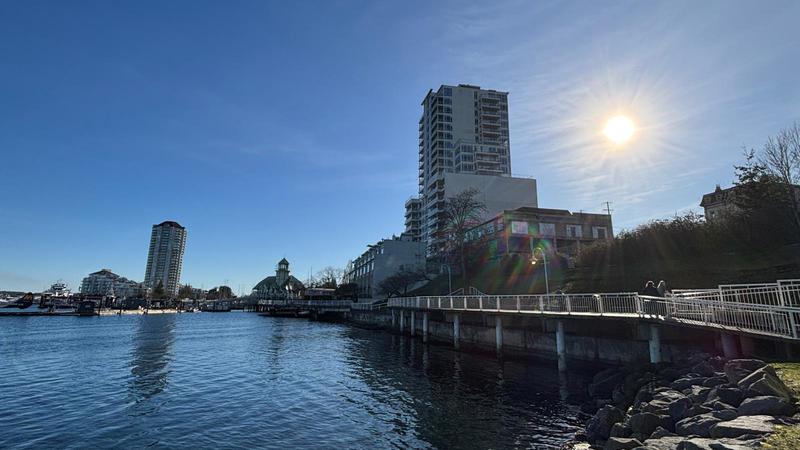
What rain? Nanaimo recorded around 30 per cent of its usual rainfall last month, with a similar story seen up and down Vancouver Island. (Ian Holmes/NanaimoNewsNOW)
where's the rain?

Bone-dry January ranks top 10 all-time in Nanaimo

Feb 5, 2025 | 2:19 PM

NANAIMO — Plenty of sun and blue sky replaced an historically precipitation-packed January for the central Island region last month.

Environment Canada data for the Nanaimo area, dating back to 1892, showed while temperatures were pretty close to normal, it was the eighth driest January on record.

“What fell was about 56.8 millimetres of precipitation, and the normal is about 187.9 millimetres,” Matt Loney, meteorologist with Environment Canada, said. “So only about 30 per cent of normal.”

Rainfall effectively bookended the month with some precipitation over the new year, then a brief stretch of shower activity and snowfall towards the end of January.

Monitoring stations at the Nanaimo City Yard on Labieux Rd. collected 14.6 millimetres of rain on Jan. 4, with another 13.2 millimetres measured Jan. 30.

Just 2.4 millimetres fell between Jan. 10 and Jan. 29.

Specific rainfall data was not available for Qualicum Beach Airport, however similar stories to Nanaimo were seen up and down Vancouver Island.

Comox Valley recorded just 68 millimetres of rain through January, with the normal being around 172 millimetres. It amounted to the third driest January for the Valley since 1895.

Campbell River had 79 millimetres compared to the historical average of 218 millimetres.

“We had that fairly significant blocking ridge of high pressure of the coast and that deflected a lot of the weather systems carrying moisture well to the north, into Alaska and the Yukon,” Loney noted.

Nanaimo Airport recorded a maximum temperature of 10.5 degrees on Jan. 10, while the coldest temperature seen was an overnight low of -5.3 degrees on both Jan. 20 and Jan. 29.

A monitoring station at Qualicum Beach Airport recorded a monthly high temperature of 8.1 degrees on both Jan. 7 and Jan. 11, with the mercury dropping to -4.1 on Jan. 26.

Despite a solid snowfall across the region over recent days, forecasts are predicting a return to blue skies in time for the weekend and into early next week.

Loney said it will likely remain quite cold through much of February.

“The cold air looks like it’s going to be anchored over western Canada for a while yet. We could see some milder air occurring along the coast so you might get back up to normal, but then the chances are higher for another Artic outbreak if this cold air remains entrenched through the middle part of the month.”

Follow us on Facebook. Join Everything Nanaimo on Facebook and stay connected with everything happening on central Vancouver Island.

info@nanaimonewsnow.com

Follow us on: Twitter (X) | Bluesky | Facebook