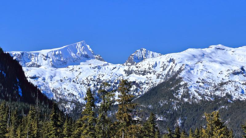
Avalanche monitoring begins for the season later in November, meaning those venturing out earlier are being encouraged to be educated, trained and prepared. (Dreamstime)
snowpack levels

Backcountry reports being collected ahead of Island avalanche season

Nov 10, 2024 | 12:32 PM

NANAIMO — Those heading out into the backcountry are asked to keep a watchful eye, be prepared, and take lots of photos.

Avalanche Canada will begin its official, daily reporting and forecasting of avalanche conditions later this month, but for now those venturing out are being asked to help create a good starting point for the winter forecasts.

Spokesperson Colin Garrity said people should only be going out this time of year if they’re well prepared and experienced to handle changing conditions.

“They’re really assessing conditions on their own and that’s a serious responsibility. So if you’re heading into snow-covered avalanche terrain, you need to carry the appropriate equipment, have the training and be ready to manage exposure to avalanche terrain in your trip plans, making slope-by-slope assessments.”

Courses and various training programs are available to better learn the skills required.

Early reports suggest around 60 centimetres of snow has already accumulated at higher elevations, but a warmer and drier stretch last week may have reduced the number a little.

A parade of storms moving into the region this week will bring considerable snowfall to higher elevations.

“It comes down to small changes that are really critical in weather conditions, so how windy was it? Was snow transportable by the wind? How much did we get, 10 centimetres of snow or 20 centimetres of snow? These make really big differences in terms of avalanche forecast, so it’s tough to know exactly what we’re in for.”

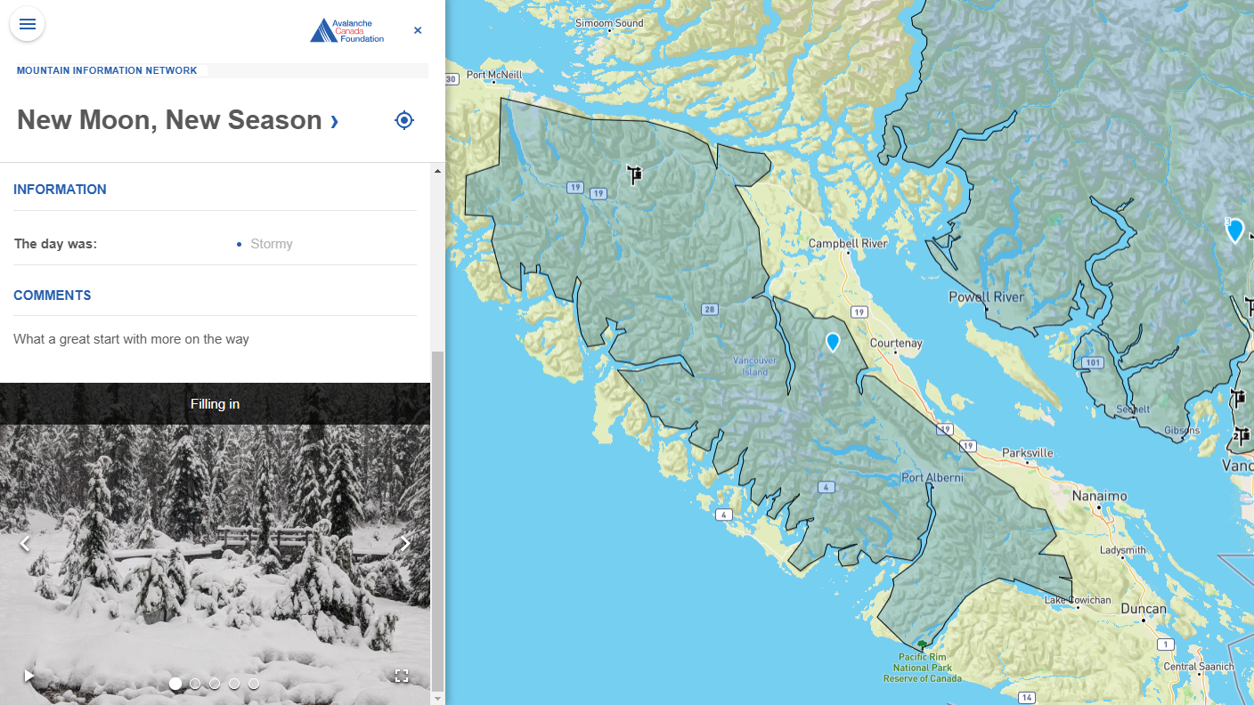
Late last year, and continuing into this year, will be photos accompanying regional avalanche forecasts, to better explain the current conditions.

Garrity said their website, avalanchecanada.ca, is where the daily reporting will occur, beginning Nov. 21.

“[Photos] really help when we’re trying to describe conditions and it can seem a bit abstract in the text form, so now we can show images of avalanches, show images of the snowpack layer and things like that to really help convey the imagery so people can relate to it a little more directly and know what to expect.”

More reporting from the general public, also through the website, helps paint a more complete picture.

“If they saw avalanches or triggered an avalanche or signs of instability, those are really really key pieces of information that help the forecasters make good decisions for the forecast in the coming day as well as other recreationist kind of understand the conditions so they can make the decisions as well.”

— with files from Jon de Roo, 97.3 The Eagle

An example of a recent avalanche report on the Avalanche Canada website, featuring conditions and photos of an area west of Courtenay. (Avalanche Canada)

Local news. Delivered. Free. Subscribe to our daily news wrap and get our top local stories delivered to your email inbox every evening

info@nanaimonewsnow.com

On Twitter: @NanaimoNewsNOW