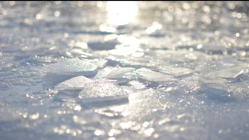
B.C. is bracing for a cold snap expected to hit the province on Thursday, dropping temperatures well below seasonal averages and potentially bringing a big dump of snow along with it. (Submitted/Reuben Friesen)
brrr!

Arctic air expected to settle over Nanaimo Thursday, bringing low temperatures and snow

Jan 11, 2024 | 10:04 AM

NANAIMO — A mass of cold, Arctic air is sweeping across B.C. this week, with the mid-Island in store to see temperatures around ten degrees below normal and the possibility of a big dump of snow.

After Nanaimo woke up to a fresh dump of wet snow on Monday, Environment Canada meteorologist Armel Castellan said people need to get for colder conditions and even more snow starting on Thursday, Jan 11, and sticking around for about a week.

“The daytime high (on Thursday) is only going to be two degrees, we’re usually at six, so we’re about five degrees colder on Thursday. And then things drop right down to minus 10, might be even colder in some pockets in the lowest lying areas.”

After Thursday, the temperature isn’t expected to get above zero until at least Tuesday, with daytime highs of minus six expected for Friday and minus four on Saturday.

Environment Canada issued a special weather statement Wednesday evening, warning about the potential of significant snowfall once the low-pressure system and Arctic front come together.

Castellan said the cold front could pick up moisture from the ocean and form what they call ‘strait effect snow’, similar to what happens in the Great Lakes region of Ontario, when cold air streams over a body of water.

“That could happen anywhere on the eastern side of Vancouver Island. Maybe not quite as high as Campbell River, but Comox, all the way down to Ladysmith, Cowichan, could see strait effect snow, particularly on Thursday afternoon or evening.”

Forecasters are also watching for a system possibly moving into the mid-Island area on Sunday evening which could potentially bring more flurries into Tuesday, but Castellan said it’s too early to tell for sure how much snow could fall and where.

Following that system, he said things should slowly warm up to seasonal conditions for the remainder of January.

“We’re obviously going to warm up slowly from Sunday onward, but it will take a better part of a week before we’re closer to seasonal values, and even then we essentially stay around seasonal. We’re not projecting a warm middle part of January. It probably will take until the end of the month before we start seeing temperatures above seasonal again.”

Temperatures on Vancouver Island will be typically milder compared to the rest of the province, with extreme cold weather warnings in place for much of northern and central B.C., with temperatures of minus 50 expected in some areas when you factor in wind chill.

Castellan reminds residents cold weather can be just as deadly as hot weather.

“Thursday night and Friday, windchill will be a factor, so really look out for your friends, your family, those who are more vulnerable, young people, older frail people, will certainly be susceptible to this type of weather.”

DriveBC.ca has up-to-date highway conditions, while BC Hydro’s website has power outage information.

— with files from Jon De Roo/97.3 The Eagle

Join the conversation. Submit your letter to NanaimoNewsNOW and be included on The Water Cooler, our letters to the editor feature.

jordan@nanaimonewsnow.com

On Twitter: @JordanDHeyNow