‘We are seeing some increases in the levels of the flood waters:’ new maps better preparing central Island
-
Share on Facebook
-
Share on Bluesky
-
Share on X
- Copy Link
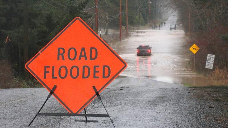
NANAIMO — A better and updated look at the region’s rivers and flood plains is hoped to better prepare for the effects of climate change.
New mapping and studies of the Little Qualicum and Englishman Rivers, along with ongoing work along the Nanaimo River is updating work not done since the 1980’s and 1990’s, taking into effect things like sea level rise and climate change’s effects on precipitation levels.
Jamai Schile, a senior planner with the Regional District on Nanaimo, said the information collected influences everything from property development to emergency operations.
“This mapping information can be used with respect to emergency response, planning evacuation routes, updating information, making sure our alert systems are up to date as well.”


