Mapping program Mounties struggled to open could have helped contain N.S. mass killer
HALIFAX — A report looking into a mapping program the RCMP had access to — but couldn’t open — during the 2020 mass shooting in Nova Scotia concludes it could have helped contain the killer’s rampage.
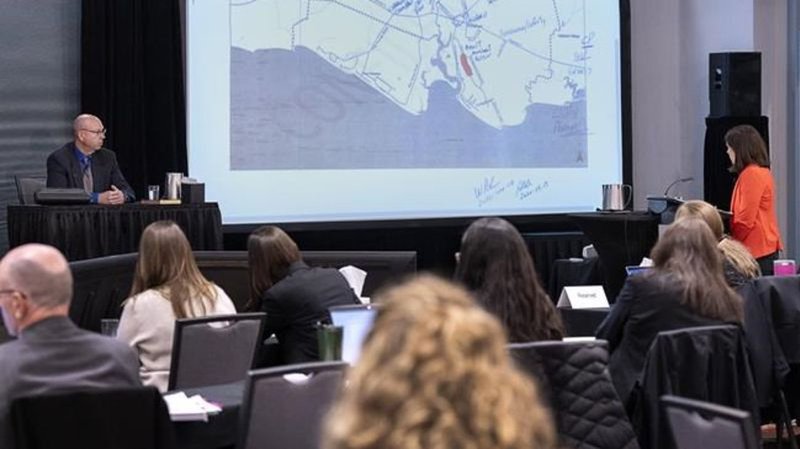
The study by Brian Corbett, an analyst with the inquiry, compares images of potential escape routes the RCMP viewed on Google Earth with what they could have seen through Pictometry — the trade name at the time for a program that uses high-resolution aerial images.
The inquiry has heard that after killing 13 people in Portapique, N.S., the gunman drove his replica police car along a narrow dirt road that led to three intersections that weren’t initially being watched.
RCMP supervisors have said they chose just to block the main road because the mapping images they used suggested to them the smaller routes weren’t passable by car.


