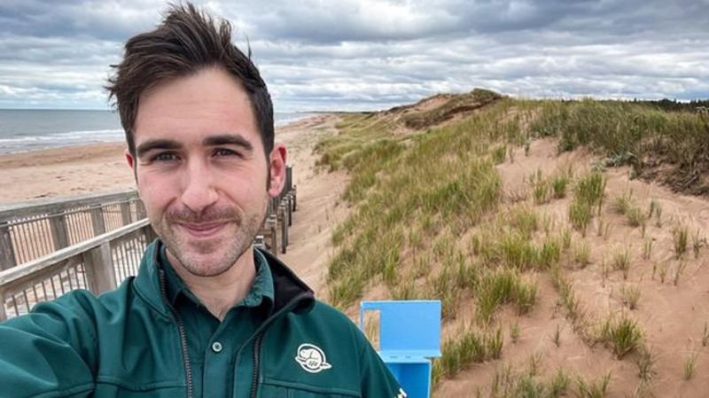
Visitors to national parks can now take ‘coasties’ to track coastal erosion
Visitors to some Parks Canada locations can now be a part of the organization’s research into coastal erosion by taking a so-called coastie.
The agency recently launched a citizen science program called the Coastie Initiative to encourage visitors to five national parks to take a photo of the coast using their smartphones.
Parks Canada is teaming up with the University of Windsor to use the submitted photos to help monitor coastal changes over time.
The initiative was pitched by to Parks Canada climate change specialist Garrett Mombourquette, who says the pictures will be used to track coastal erosion, dune crest movement, ice presence near shore and vegetation after extreme weather.


