STAY CONNECTED: Have the stories that matter most delivered every night to your email inbox. Subscribe to our daily local news wrap.
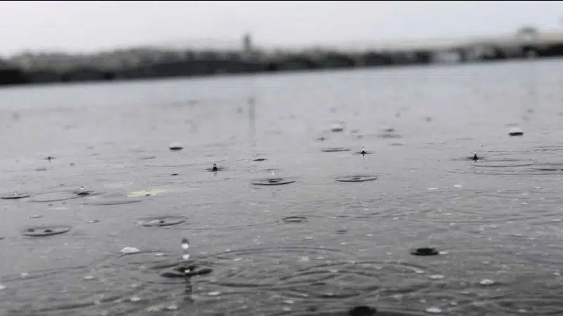
A steady stream of rain came down on Nanaimo throughout the month of January, marking the ninth wettest January in Nanaimo on record. (Ian Holmes/NanaimoNewsNOW)
Wet month

‘It was enough to rank it in the top ten:’ rain dominates Nanaimo’s January weather

Feb 3, 2020 | 7:10 AM

NANAIMO — It was a soaker of a January on mid Vancouver Island as a continuous series of storms slammed the region.

Environment Canada meteorologist Armel Castellan told NanaimoNewsNOW a whopping 280 millimetres of precipitation fell at Nanaimo Airport throughout the month.

“It was enough to rank it in the top ten for Nanaimo with records going back to 1892 with 149 per cent of normal precipitation.”

A typical January in Nanaimo sees 188 millimetres of precipitation, according to Castellan.

The wettest January in recent memory was in 2018 when 308 mm of precipitation fell in Nanaimo.

Castellan said It was a wild month of weather, noting three daily heat records were set, with the 13.4ºC recorded on Jan. 1 being the toastiest New Years Day on record in Nanaimo.

Castellan said measurable precipitation was recorded every day in January in Nanaimo with the exception of Jan. 1 and Jan. 8. He said on an average year there are 11 days in the month of January on the mid island where it does not snow or rain.

He said this past Friday was the wettest Jan. 31 ever in Nanaimo with 66.4 millimetres of rain pouring down.

The heavy rain caused localized flooding throughout the mid island and Cowichan Valley areas.

“To have a stretch (of storms) that lasts more than a week or two starts to become a little bit anomalous,” Castellan said. “In this case we dealt with pretty much five weeks, at the end of December to the end of January, a very active stretch.”

87 centimetres of snow fell in January in Nanaimo, far surpassing the 30-year average of 21 cm, Castellan added.

Meantime, Environment Canada posted a special weather statement locally, which calls for significant snowfall on Tuesday, Feb 4. Castellan said anywhere from 5 to 20 cm of snow can expected in the Nanaimo area.

He said areas near sea level will likely experience trace amounts of snow, while he warned higher elevations could see much more snow.

Castellan expected the snow to start falling in the Nanaimo region Tuesday at about 8 or 9 a.m.

He said the mid island area will likely see a complete shift to rain for a bulk of the week beginning Tuesday evening.

ian@nanaimonewsnow.com

On Twitter: @reporterholmes