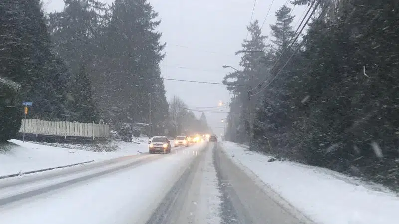
Nanaimo's first taste of winter is set to get worse before it gets better according to Environment Canada meterologists. (Ian Holmes/NanaimoNewsNOW)
LET IT SNOW
Nanaimo braces for final punch in year’s first winter storm
Jan 14, 2020 | 2:44 AM
-
Share on Facebook
-
Share on Bluesky
-
Share on X
- Copy Link
NANAIMO — Snowfall across the region is expected to get worse before it gets better.
Environment Canada metrologists revised earlier estimates and now forecast 10-15 centimetres of snow will fall on Tuesday, Jan. 14, paired with another 10 centimetres on Wednesday, Jan. 15.
“Travel will be very difficult at times due to rapidly accumulating snow,” Environment Canada’s Armel Castallan told NanaimoNewsNOW. “The nature of having that convergence of cold coming in from the interior and those Pacific pulses with the moisture.”
Snowfall was blamed for 16 minor crashes on city roads on Monday, as well as slippery side streets downtown and in the south end of Nanaimo.