LOCAL NEWS, DELIVERED DAILY. Subscribe to our daily news wrap and get the top stories sent straight to your inbox every evening.
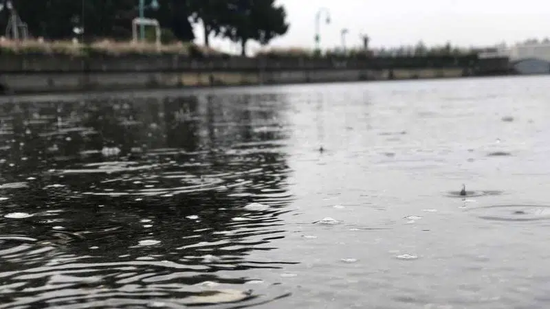
November saw little precipitation in Nanaimo, with even less falling so far in December. (Ian Holmes/NanaimoNewsNOW)
DRY SPELL

“We haven’t had any fire hoses pointed at us:” Island breaks wet weather time out

Dec 11, 2019 | 11:49 PM

NANAIMO — Rain in the region on Wednesday was a welcome diversion from what has been a very dry fall and winter.

Nanaimo is well down on its precipitation quota for December, having just 9.5 millimetres fall prior to Wednesday’s showers.

Environment Canada meterologist Bobby Sekhon told NanaimoNewsNOW the region typically sees closer to 184 millimetres in the final month of the year.

“November was fairly dry as well where Nanaimo received only 30 per cent of normal precipitation,” Sekhon said. “We’ve been in a bit of a dry stretch where we haven’t really gotten those storm cycles or atmospheric rivers besides that one (storm) in November.”

October was below average too, seeing just 74 millimetres fall at Nanaimo Airport, down from the 102 millimeter average.

Sekhon said the region has been in a blocking pattern which has meant storms have been diverted north or south.

“We’ve seen more storm activity down towards Oregon and California, then systems come through the North Coast of BC,” Sekhon said. “We haven’t had any fire hose pointed at the south coast in the last few weeks.”

Forecasters aren’t committing one way or another on weather for Christmas Day, however Sekhon said Nanaimo is considered a long shot for a white Christmas.

Temperatures are expected to remain around average, meaning daytime highs of six degrees and overnight lows around plus one.

The region historically has a white Christmas 15 per cent of the time, meaning at least two centimetres of snow on the ground.

The last “perfect Christmas” was in 2016 with snow on the ground and flurries falling on Christmas Day.

alex.rawnsley@jpbg.ca

On Twitter: @alexrawnsley