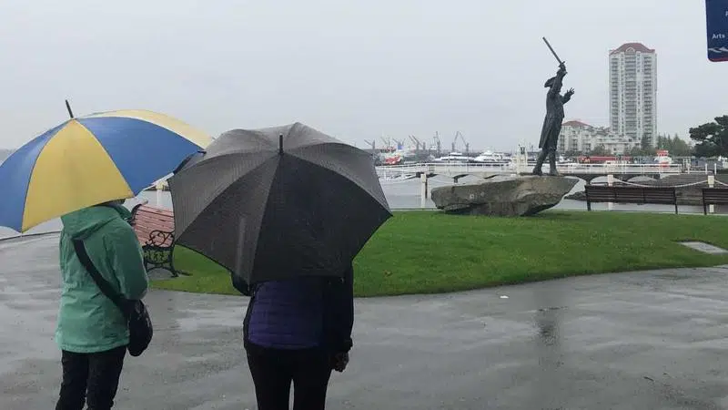
Nanaimo saw double its usual amount of rain for the month of September according to readings taken at Nanaimo Airport. (Ian Holmes/NanaimoNewsNOW)
RAINY SEPTEMBER

September soaker: rain pounds Nanaimo as summer screeches to a halt

Oct 1, 2019 | 8:24 AM

NANAIMO — The transition from summer to fall was hard hitting and abrupt for central Vancouver Island.

The region saw double the normal amount of precipitation for this time of year, according to Environment Canada meteorologist Matt MacDonald.

“Typically we only see 36 millimetres of rain in September and we picked up exactly double that this year, 72 millimetres.”

Last month was the 26th wettest September since record-keeping began in 1892.

Despite the bump over average numbers, this year’s back to school month paled in comparison to 2018 where Nanaimo had 117 millimetres of rain fall. Environment Canada said that was the 8th wettest September on record.

A cooler, wetter summer combined with the volume of rain in September helped quell campfire bans. The Coastal Fire Centre opting not to issue one for the first time since 2012.

“The first week of September for back to school was pretty good, it was dry and sunny…but then came the rain and it didn’t really let off up until the very end of the month,” MacDonald said.

On average, Nanaimo sees eight days with precipitation through September, however 2019 featured 15 days where rain was recorded.

‘We’ve really transitioned to a fall-like pattern,” MacDonald said. “Looking at the longer term charts, we see a pretty continuous succession of systems with little short breaks in between but we’re definitely heading into that rainy season.”

Vancouver Island and the south coast registered around twice the normal numbers for September, however those same systems brushed by the north of BC which finished the summer much drier than normal,

info@nanaimonewsnow.com

On Twitter: @NanaimoNewsNOW