STAY CONNECTED: Have the stories that matter most delivered every night to your email inbox. Subscribe to our daily local news wrap.
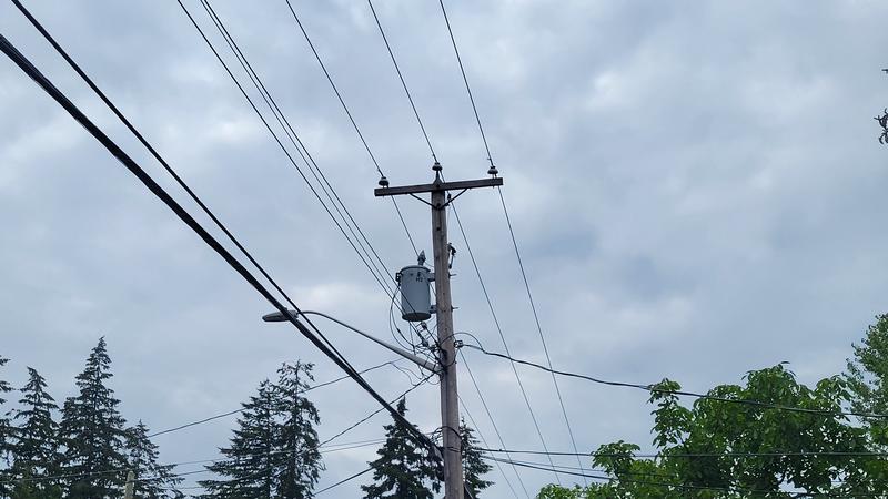
Cloudy skies, rain, and cooler temperatures can be expected for the Nanaimo and Oceanside area this week. (Jordan Davidson/NanaimoNewsNOW)
cooler weather

Cloudy skies and a bit of rain forecasted for Nanaimo and Oceanside

Aug 12, 2024 | 4:29 PM

NANAIMO — A ridge of cooler weather has settled over much of Vancouver Island.

It’s a departure from extended hot, dry conditions the region enjoyed for much of July and early August, with temperatures expected to remain around the low-20 degree mark for a daytime high this week.

Meteorologist with Environment and Climate Change Canada Brian Proctor said the conditions which caused a heat warning to be issued last week have moved northeast, leaving behind more “unsettled” conditions.

“Seasonal temperatures and spotty shower activity, so it’s probably a good news story from the point of view of what our water resource allocations are like and how much moisture is now available out there at this point in time.”

Proctor said this weather pattern will likely continue well into next week before the system corrects and brings back warmer weather.

But it could also bring some wildfire smoke from the mainland or the United States with it.

“Really seasonal conditions to a large degree, probably a little grayer than what we’ve been used to and…we may see a bit more smoke coming back from time to time, depending on where the trough itself sets up and how much smoke we can draw out of the interior.”

Precipitation-wise, Proctor said not to expect too much rain to fall during the week despite the cloudy conditions, with higher elevations likely seeing more.

He said over the weekend is when the most rain is likely to fall, but where it will fall will be sporadic.

“Probably the better chance will be in the Vancouver Island mountain ranges more than anything else and up on the foothills to a certain degree, maybe 5 millimetres I would think, at least through Friday. We get a better chance Friday/Saturday… but it depends where the low comes to shore and how it’s tracking.”

Looking ahead at the rest of August and into the fall, Proctor said the pattern of above-seasonal temperatures with drier-than-normal conditions should persist well into September.

“Sometimes even early October before we see a significant change, and it’s setting up to be that pattern. So I wouldn’t be surprised to see normal to just above normal temperatures and fairly dry conditions holding through the end of August into early September.”

— with files from Jon De Roo/97.3 The Eagle.

Local news. Delivered. Free. Subscribe to our daily news wrap and get our top local stories delivered to your email inbox every evening.

jordan@nanaimonewsnow.com

On Twitter: @JordanDHeyNow