LOCAL NEWS, DELIVERED DAILY. Subscribe to our daily news wrap and get the top stories sent straight to your inbox every evening.
Snow levels on Mt. Benson have dropped considerably over the last week, signalling a potential wet snowy Christmas Eve in the region. (Alex Rawnsley/NanaimoNewsNOW)
wet (not white) christmas

‘Snow levels will start to drop:’ Christmas Eve wet snow possible through parts of Nanaimo

Dec 23, 2025 | 4:16 PM

NANAIMO — Last-minute holiday travellers will need to contend with not only the hustle and bustle of the season, but also tricky and changing road conditions.

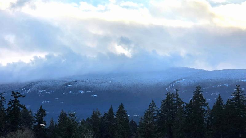
A mess of weather is forecast to hit the region beginning Wednesday, Dec. 24, arriving as a mix of rain, wet snow and the occasional sunny break through much of Nanaimo and Oceanside.

Environment Canada meteorologist Ken Dosanjh said despite rain dominating the recent pattern and the forecast to come, a lowering freezing level is bringing in the possibility of some wet flurries.

“We’ve started to bring a bit of a cooler air mass, so these snow levels are hovering around 500 meters…but as we shift over the next day, we are noticing Wednesday [Dec. 24] morning, the snow levels will start to drop down a little bit as we get slightly cooler.”

Little accumulation is expected through more densely populated areas, however, properties and roadways at higher elevations could see some snow stick.

“We are monitoring for snowfall, not intense at this moment, but we are looking more among the higher terrains as you go further along the spine of the island, closer to Port Alberni, we do have a chance of flurries through that region.”

Of particular interest for Dosanjh and his colleagues is an increase in the precipitation rate Wednesday afternoon, which could help drop the freezing level closer to the coast and result in wet flurries in the city itself.

Christmas Day is forecast to be mostly cloudy with some precipitation arriving late in the day.

Dosanjh said it will likely be rain, but the possibility of some flurries is not zero.

“So far, it does look to be more in the form of rain than snow but the snow levels are also just hovering around a couple hundred meters. If we do get just that extra burst of energy, that could be enough to bring that snow down. It’s very close and it’s really on our doorstep.”

He noted the Island can expect to dodge most of the snow accumulation for Christmas, with a majority of attention being focused on likely snowfall in the Fraser Valley on Boxing Day, as well as continued snowfall through the Interior and Sea-to-Sky Hwy.

We’re on Bluesky! Stay up to date on news across central Vancouver Island through Bluesky, by following @NanaimoNewsNOW.bsky.social.

info@nanaimonewsnow.com

Follow us on: Twitter (X) | Bluesky | Facebook