STAY CONNECTED: Have the stories that matter most delivered every night to your email inbox. Subscribe to our daily local news wrap.
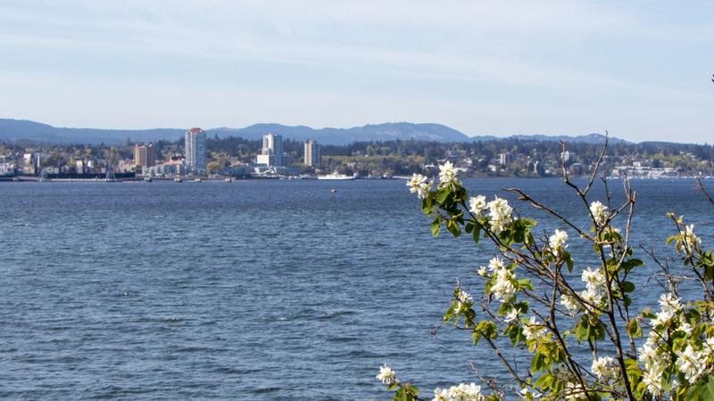
Expect blue skies and much warmer than normal temperatures in Nanaimo and the surrounding area beginning Thusday, March 14. (Dreamstime)
HERE COMES THE SUN

‘Six to seven degrees above normal:’ perfectly timed spring heat wave forecast for Nanaimo

Mar 12, 2024 | 5:31 AM

NANAIMO — Just days before spring officially begins, Mother Nature is bringing some balmy weather to the mid-Island.

Meteorologists are tracking the development of a high-pressure system set to materialize over the region by Thursday, March 14.

With the high pressure comes blue skies, little wind and very warm temperatures, according to Environment Canada meteorologist Derek Lee.

“For now we do have a chance of at least seeing up to 16 degrees…by this weekend and that translates to about six to seven degrees above normal.”

The source behind the stellar spring temps is a ridge of high pressure settling above.

“We are looking at this ridge of high pressure being a little bit more strong, so it will deflect the storms from the Pacific elsewhere. With good confidence, it’s likely Thursday through at least until next Tuesday that we’ll be in that stretch of dry weather.”

Early forecasts for the weekend have the Nanaimo and Oceanside region around the 15 or 16-degree mark, which would threaten some established records for mid-March.

Average temperatures for the mid-Island around this time of year see daytime highs around nine degrees, with overnight lows near two.

Lee said even after early next week, any storm activity which persists is slated to be relatively minor and not feature much rain.

Spring officially begins in Nanaimo on Tuesday, March 19 at 8:06 p.m.

— with files from Jon de Roo, 97.3 The Eagle

Local news. Delivered. Free. Subscribe to our daily news wrap and get our top local stories delivered to your email inbox every evening

info@nanaimonewsnow.com

On Twitter: @NanaimoNewsNOW