Traffic was considerably backed up Wednesday morning due to at least one motor vehicle incident along Hwy. 19 near the Nanoose Flats. (Drive BC)
slow down

‘Speed is the number one factor:’ overnight snow behind tricky travel around Nanaimo

Feb 22, 2023 | 1:19 PM

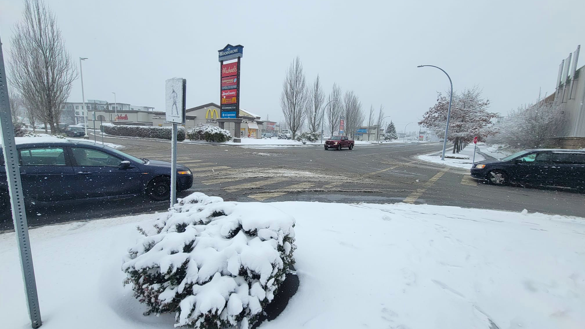
NANAIMO — A few centimetres of overnight snowfall on the central Island is causing headaches for some drivers.

Emergency crews responded to a series of crashes along the Trans Canada Hwy. near Morden Rd. during the morning commute on Wednesday, Feb. 22. An initial incident is believed to have caused a domino effect with approaching vehicles.

Another handful of incidents was later reported in Nanoose on Hwy. 19, first near NW Bay Rd., then along the Nanoose Flats.

“Responsibility lies with the operator of the vehicle,” Nanaimo RCMP Res. Cst. Gary O’Brien said. “Snow crews are out there doing their thing, but you have to take responsibility of the actions of your vehicle and that means reducing your speed, clearing your windshield and having clear visibility.”

Only two incidents in Nanaimo itself were reported to Nanaimo Fire Rescue Wednesday morning, however both were quickly handled.

A few more did not require emergency crews to attend, including vehicles veering off-road or stuck on hills.

Snow continued to fall Wednesday afternoon, leading to some slippery and messy conditions around Nanaimo. (Alex Rawnsley/NanaimoNewsNOW)

O’Brien said these winter driving conditions are likely to persist and people need to be aware of how to travel in them.

“This is probably the last kick of the can, this weather is going to stay here for two or three days, the temperature is going to drop below zero, so we’ll have freezing conditions so speed is the number one factor.”

Environment Canada upgraded their snow estimates Wednesday morning, replacing a previously issued special weather statement to a snowfall warning.

“A low pressure centre over the Washington Coast will spread snow to the southern half of Vancouver Island (Wednesday) and (Wednesday night),” the warning read. “Outflow conditions are generating snow streamers off the Strait of Georgia and will likely lead to localized areas of rapidly accumulating snow.”

Between five and 15 centimetres of snow is expected, with the highest accumulations occurring inland.

Local news. Delivered. Free. Subscribe to our daily news wrap and get our top local stories delivered to your email inbox every evening.

info@nanaimonewsnow.com

On Twitter: @NanaimoNewsNOW