STAY CONNECTED: Have the stories that matter most delivered every night to your email inbox. Subscribe to our daily local news wrap.

First steps taken towards goal of continuous walkway from Departure Bay to Nanaimo Estuary

Jan 9, 2017 | 4:32 PM

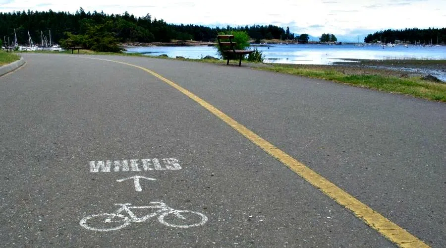
NANAIMO — The city of Nanaimo is taking some of the first steps towards tripling the length of the waterfront walkway, with the goal of one day connecting Departure Bay with the Nanaimo River Estuary.

Bill Corsan, the city’s real estate manager, says the city is in the process of hiring a consultant to create an overall strategy for the walkway expansion, including overall planning and design work. Corsan says the consultant will also be asked to focus on five specific segments, with the goal of having them completed by the end of 2018.

“The waterfront and access to it is what defines Nanaimo,” stated Coun. Diane Brennan in an email to NanaimoNewsNOW. “The community has told us over and over again they want council to concentrate on our waterfront, walkways, trails and green space.”

Corsan says the current walkway, broken up into sections, is about four kilometres. He says it would total about 13 kilometres once it is connected all the way from Departure Bay beach to the Maki Road area near the estuary. $150,000 has been carried forward from previous budgets for the consultant’s work, according to Corsan.

There are several challenges to the overall connectivity of the path. Corsan says when the city discussed a connection from the BC Ferries terminal to Departure Bay beach in the early 2000’s there was stiff opposition from Cilaire Drive residents and the project was ultimately shelved. He says the sections through the Newcastle Channel will require working with the Nanaimo Port Authority and their lessees, while anything moving south past the industrial land will require coordination with Snuneymuxw First Nation.

Corsan says the goal initially is to have the consultant create an overall plan of attack and break the work down into sections. That will allow the city to come up with an idea of the overall cost to create the extensive walkway and give the public something to look at and be consulted on.

“This has been talked about and happening organically in the past. Now the idea is to formalize it a bit more and chip away at it and know where we’re supposed to be chipping away in a given year,” said Corsan.

“It’s such a beautiful piece of property to walk along,” said Coun. Ian Thorpe. “That’s why it has become a priority. I’m not saying it will be easy. I think there are certain pieces of the walkway that we can start to work on and we just want to create a vision of how we can eventually do the whole thing.”

The five sections that will be focused on for completion by the end of 2018 are, according to Corsan: from BC Ferries to Beach Estates, finishing off the boat basin from the Port Theatre to Cameron Island, One Port Drive, and two sections in the Newcastle Channel.

It’s likely the look and feel of the walkway will vary widely from section-to-section, Corsan says. He says some areas won’t be able to fit a wide, asphalt surface, so a gravel trail may be used instead. He says there are also some sections that currently exist that need improvements, noting some work that could be done on the path through Maffeo Sutton Park around Swy-A-Lana Lagoon.

Corsan says he hopes to have the consultant’s work done before the summer and a public consultation will follow.

The waterfront walkway expansion was identified as one of council’s top five key projects in a new strategic plan formed in the summer of 2016.